sky View Studio - Aerial Solutions
Bridging the gap between aerial technology and professional standards, From advanced aerial data to industry-leading certification and training, we empower your business to reach new heights
- Advance License In-Class Course
- Complex Operations In-Class Course
- 3D Drone Photogrammetry In-Class Course
- Drone Maintenance Course
- Drones - 101
- Drone Foundations: From Ground To Air
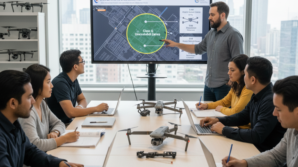
- RPAS Strategic Operations SFOC/ SORA
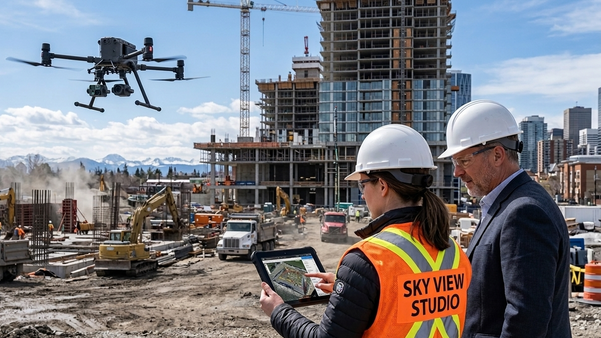
- Construction Follow-up
- 3D Modeling & Digital Twins
- Orthomosaic Mapping
- Volumetric Measurement
- LiDAR Services
- Photogrammetry
- DTM / DSM
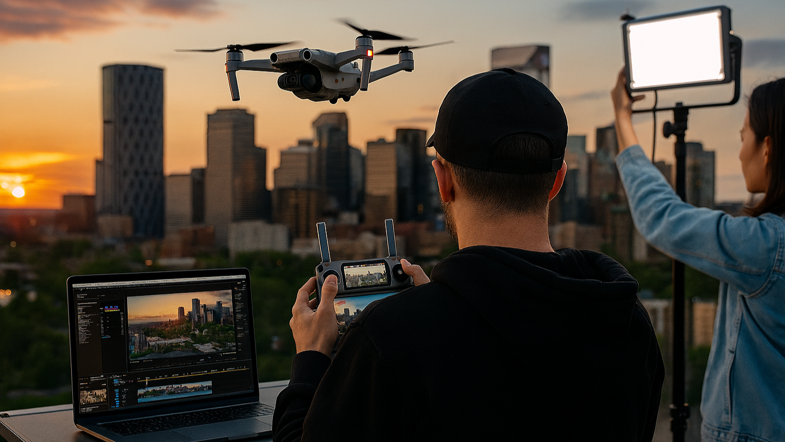
- Event & Live Concert Coverage
- FPV Interior/Exterior Tours
- Real Estate Marketing
- Marketing & Advertising
- Tourism & Hospitality Content
- Social Media Storytelling
- Proposals & Luxury Weddings
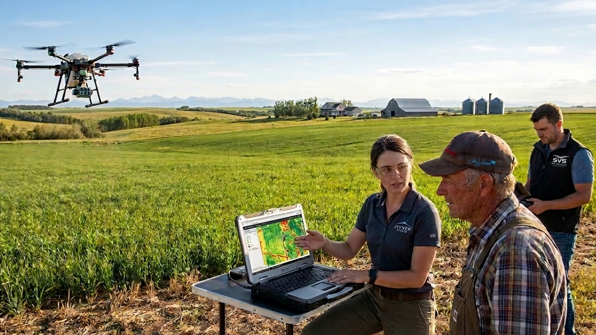
- Plant Counting
- Crop Health Monitoring
- Livestock Monitoring
- Yield Estimation
- Yield Prediction (Claims)
- Disease detection
- Early pest
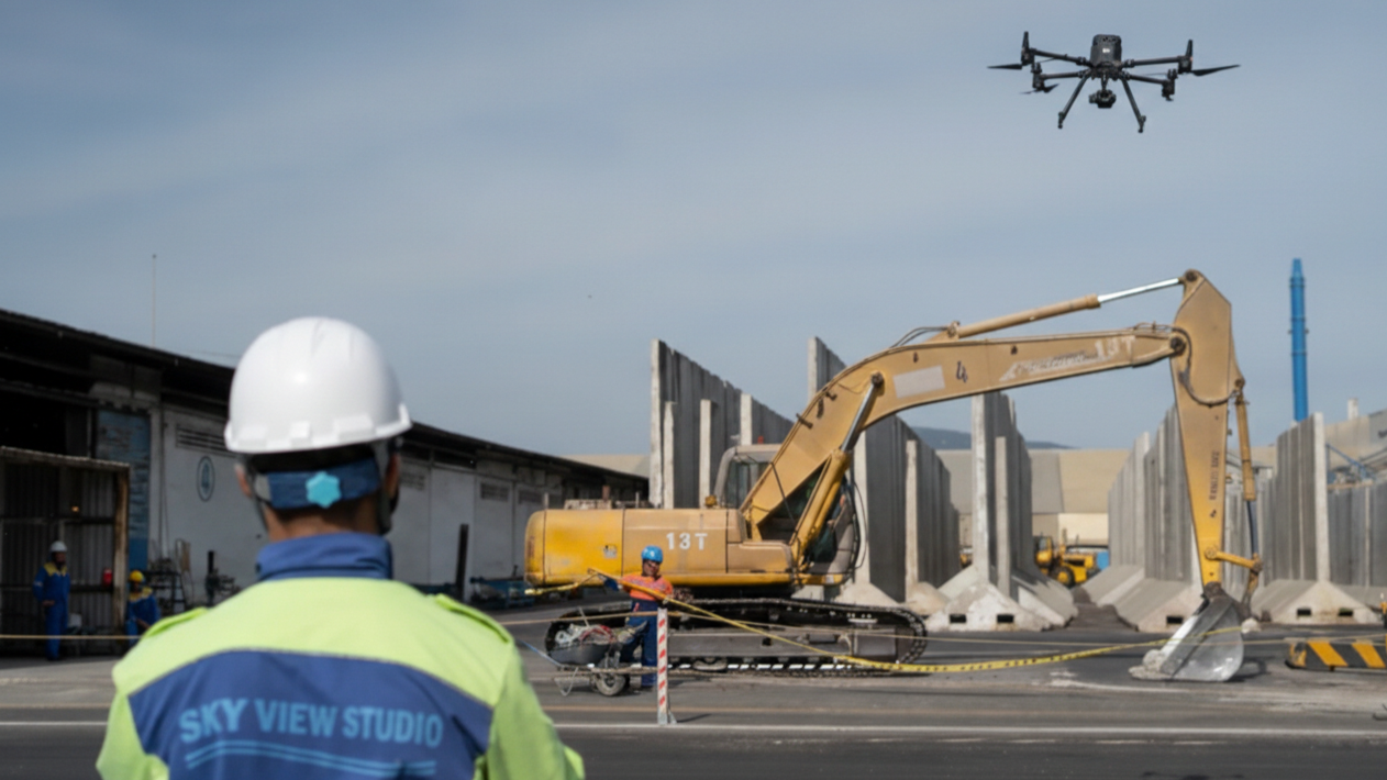
- Construction inspection
- Thermal Control
- Roof Assessment
- Solar Farm Control
- Cell Towers & LOS
- Pipeline Integrity
- Power lines degradation
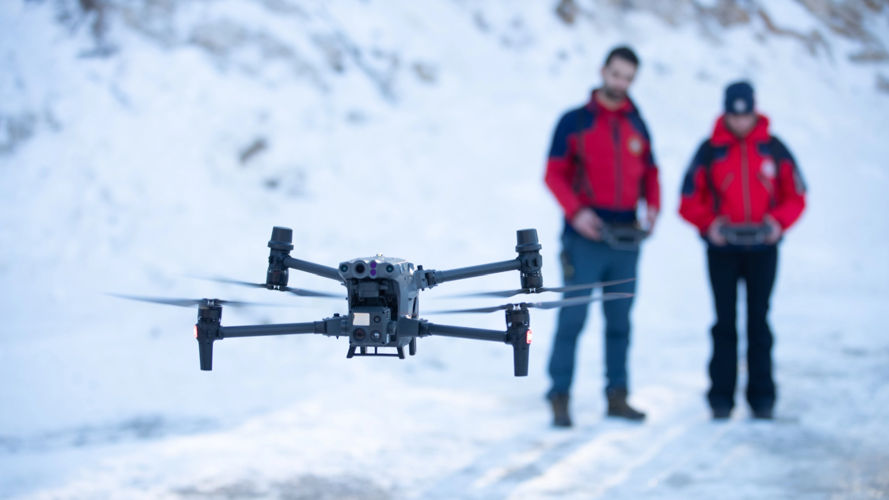
- SAR Mission Planning Integration
- Thermal Imaging (Radiometric)
- Regulatory compliance
- Custom ConOps and SOP development
- Thermal Recognition & Night Ops
- Team Operational Coordination
- DAA VO trainings
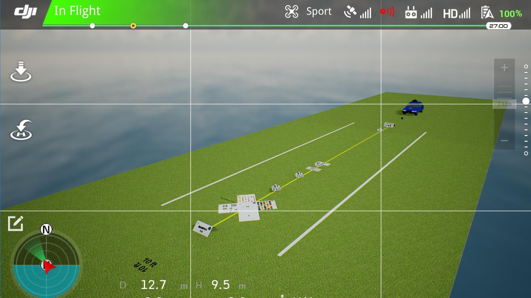
- Standardized Maneuvers Evaluation
- Operational Proficiency Benchmarking
- Vertical & Lateral Sensors Alignment
- Objective Performance Metrics
- Payload Accuracy Testing
- Continuous Skills Maintenance
- Emergency Response Drills
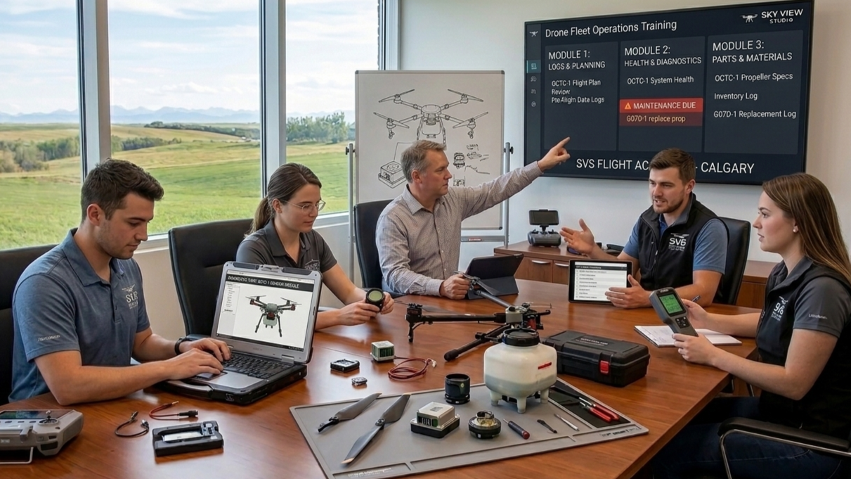
- Digital Asset Inventory
- Fligth Operation management
- ROI & Lifecycle Forecasting
- Transport Canada Coordination
- SORA assessment
- SFOC management
- Compliance & Safety Audits