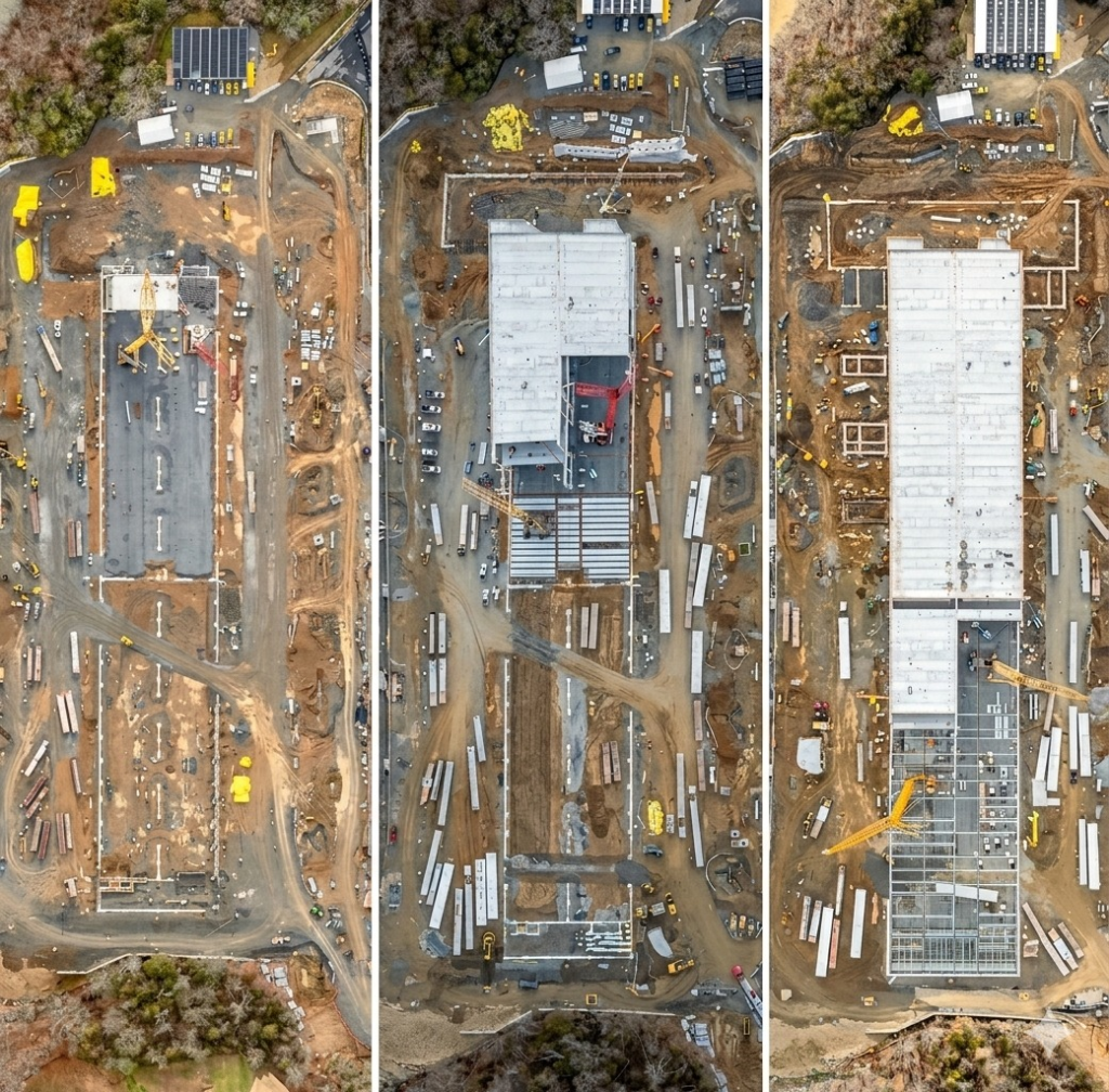
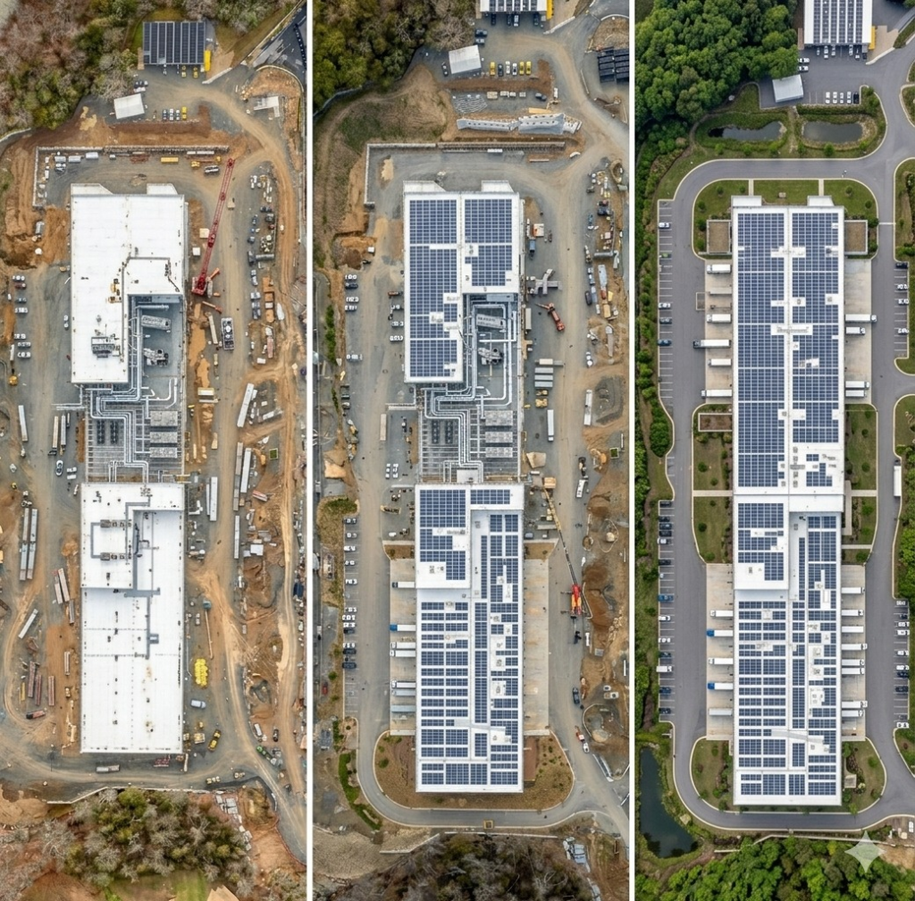
1. High-Fidelity Digital Twins & BIM Integration
We deliver more than just imagery; we provide precision engineering data. High-resolution outputs designed for direct integration into existing 3D modeling and Building Information Modeling (BIM) environments.
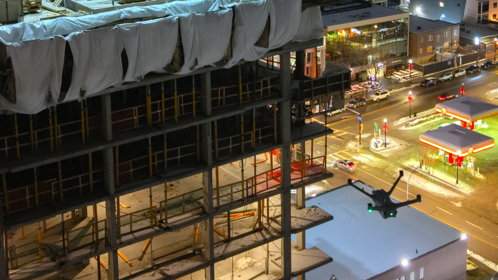
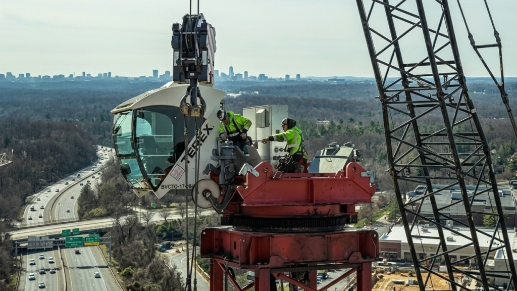
2. Radical Reduction of time and Operational Risk
Our RPAS platforms replace high-risk manual and rope inspections with safe, agile aerial platforms—drastically reducing costs, lowering liability, and improving safety KPIs. and at the same time saving time.
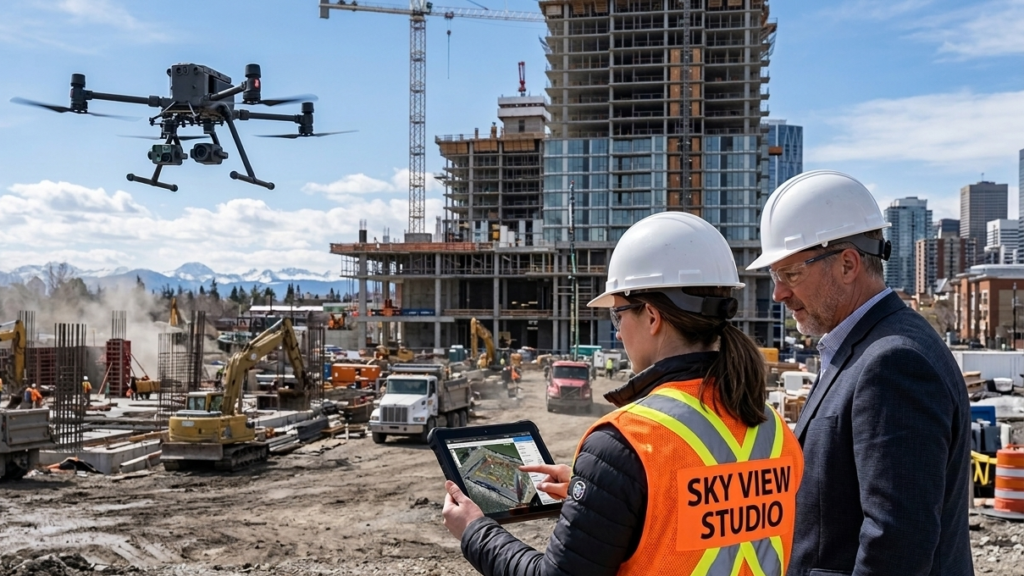
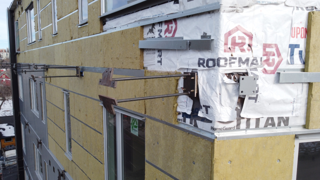
3. Scalable Oversight of Critical Infrastructure
Scaled to your operations, non-intrusive aerial inspections cover everything from linear grids to complex structures. We deliver comprehensive data on inaccessible areas with zero facility shutdowns or site preparation.