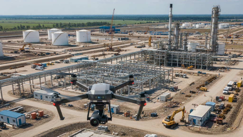
This course introduces the essentials of drone photogrammetry – the technique of creating accurate 2d maps and 3D models from captured drone imagery.
Learn the full workflow, from planning the automated operations with required image overlap to processing data using specialized software, Master the principles of triangulation and understand how to leverage GPS/RTK/GPCs for professional-grade accuracy.
Start turning your aerial photos or videos into measurable, valuable assets like ortho mosaics, DTMs, and textured 3D meshes